


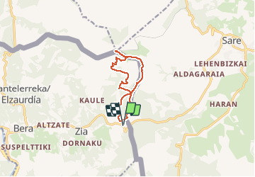


13,8 km | 26 km-effort


Usuario


Aplicación GPS de excursión GRATIS
 SityTrail
IGN / Institutos geográficos
SityTrail World
El mundo es suyo
Ruta Senderismo de 10,1 km a descubrir en Navarra, Desconocido, Vera de Bidasoa. Esta ruta ha sido propuesta por georgein.
Belle randonnée pour atteindre le sommet de la Rhune, en longeant les palombières, par le versant Sud en évitant la foule et le petit train à crémaillère.

Senderismo

Senderismo
Senderismo
Senderismo
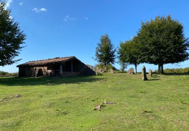
Senderismo
Senderismo
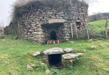
Senderismo
Senderismo


sport